Spatial Ecology - Geocomputation with GRASS
The following tutorials were developed as part of the Spatial Ecology courses, where students are introduced to an array of powerful open-source geocomputation tools and machine learning methodologies under the Linux environment.
GRASS Introduction
Learn the basics of GRASS including the data structure, command syntax, working environment, mapsets, and region settings using the command line.
https://spatial-ecology.net/docs/build/html/GRASS/grass_intro.html
Start a New GRASS Project
Create a new GRASS project from scratch, import data, and configure the working environment.
https://spatial-ecology.net/docs/build/html/GRASS/grass_newproject.html
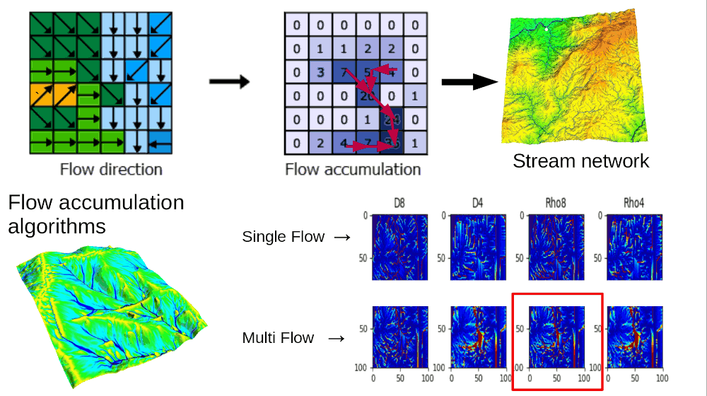
Stream-Network Extraction and Basin Delineation
Use GRASS for hydrographic feature extraction at large scales, including tiled flow accumulation, stream network extraction, and basin delineation. Also available as a Google Colab version.
https://spatial-ecology.net/docs/build/html/GRASS/grass_hydro.html
Species Distribution Modeling with GRASS
Geocomputation for a Random Forest species distribution model using GRASS to prepare environmental predictors and generate predictions.
https://spatial-ecology.net/docs/build/html/GRASS/SDM1_MWood_gecomp4GRASS.html
https://spatial-ecology.net/docs/build/html/GRASS/SDM1_MWood_GRASSmodel.html
Use of GRASS in HPC
Set up and run GRASS in a High Performance Computing cluster environment using Bash scripting and the Slurm queuing system.
https://spatial-ecology.net/docs/build/html/HPC/hpc_setting_grass.html
Video recording (29 min): https://youtu.be/4i1Fs29D0-A
Author: Giuseppe Amatulli, Yale University / Spatial Ecology
These materials were developed as part of the US NSF-funded POSE project (Award 2303651).