---
title: "Tutoriales de GRASS en grasswiki"
lang: es
date: 01/01/2017
format:
html:
toc: true
code-tools: true
code-copy: true
code-fold: false
categories: [beginner, intermediate, external, Spanish]
description: Tutoriales de GRASS en grasswiki traducidos al español.
execute:
eval: false
---
* [Visualización analítica de datos](https://grasswiki.osgeo.org/wiki/Analytical_data_visualizations_at_ICC_2017/es) (2017)
* [Libera el poder de GRASS](https://grasswiki.osgeo.org/wiki/Unleash_the_power_of_GRASS_GIS_at_US-IALE_2017/es) (2017)
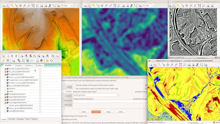
* [Procesamiento de datos LiDAR y UAV](https://grasswiki.osgeo.org/wiki/Processing_lidar_and_UAV_point_clouds_in_GRASS_GIS_(workshop_at_FOSS4G_Boston_2017)/es) (2017)
* [Procesamiento de series de tiempo con GRASS y R](https://grasswiki.osgeo.org/wiki/Temporal_data_processing/GRASS_R_raster_time_series_processing/es) (2017)
{.preview-image}
