GISMentors - Courses
GRASS Workshop in Jena
A course taught at the University of Jena: Automated Earth Observation Processing Work Flows with GRASS and WPS
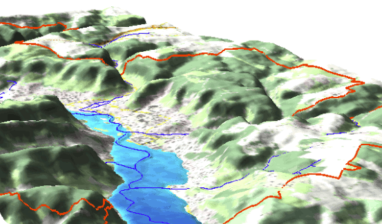
The idea of this course is to teach about spatio-temporal data processing with a focus on satellite data, including automated processing workflows provided as web services. The sample dataset used includes LiDAR data and Earth Observation time series. Workflows are automated with the open source GRASS software and Python programming language.
https://gismentors.github.io/grass-gis-workshop-jena/
Authors: Martin Landa
GRASS IRSAE winter course 2018
This 3-days intense workshop on GIS in Applied Ecology from 24.09.2018 to 27.09.2018 at the cosy Studenterhytta in Oslo has been offered by IRSAE members NINA and FEM. Topic of the course is Advanced Geospatial Analysis with an emphasis on handling of Earth Observation and Time Series data using Free and Open Source Software. Based on a set of 29 course units, final content for the 3 days event was tailored according to participants interest as well as prior knowledge and experience. The course was kindly supported by IRSAE.
https://gismentors.github.io/grass-gis-irsae-winter-course-2018/
Authors: Martin Landa, Luca Delucchi, Stefan Blumentrath